 Interactive Earth: Countries and continents
Learning objectives
- To illustrate the correlation between the 3D globe and the 2D map, and to introduce the difficulties involved in producing such a projection.
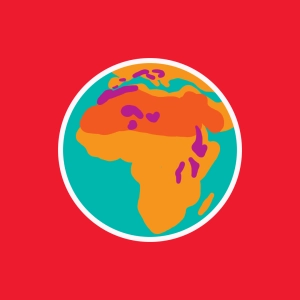
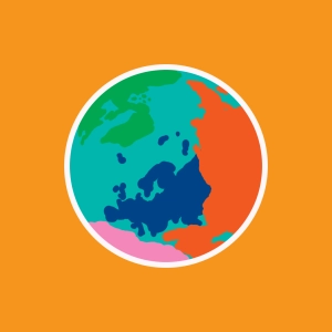
We highlight here the relation between the Earth as a rotating globe and its plane projection.
Discover EduMedia for free
The interactive encyclopedia that brings science and math to life in the classroom.
O v e r 1 , 0 0 0 r e s o u r c e s